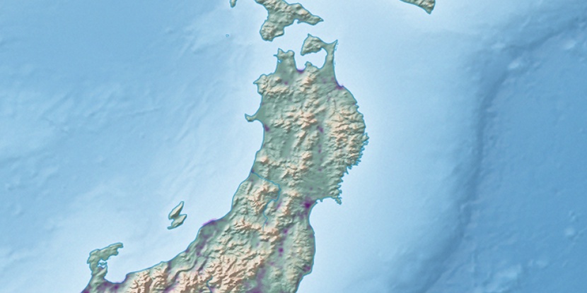
Takahata-machiyakuba, (administrative facility) is located in Yamagata, in Japan (Asia). It is placed in GMT+9 time zone with current time of 08:46 AM, Sunday. Offset from your time zone: minutes.
| Latitude | 

|
|
| decimal | 38.00278 | |
| DMS | 38° 0' 10.008" N | |
| Distances from | ||
| North pole | 5781.5 km | |
| Equator | 4225.5 km | |
| South pole | 14232.6 km | |
| Longitude | 
|
|
| decimal | 140.18917 | |
| DMS | 140° 11' 21.012" E | |
| Distance from prime meridian: 10631.6 km to East |
||
List of nearest places sort by population
Fukushima 37.2 km 139°
139° 31°
31° 211°
211° 10°
10° 89°
89° 23°
23° 309°
309° 100°
100° 123°115°

Marker is showing location of Takahata-machiyakuba on map(s). You can click on marker if you want to hide it.
 T: 0.00897 s.
2026 © Location.zone | Terms of use | Contact
 189°
189° 228°
228° 223°
223° 240°
240° 284°
284° 171°
171°