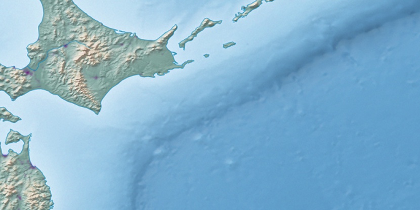
Urahoro-chōyakuba, (administrative facility) is located in Hokkaido, in Japan (Asia). It is placed in GMT+9 time zone with current time of 02:26 AM, Sunday. Offset from your time zone: minutes.
| Latitude | 

|
|
| decimal | 42.80889 | |
| DMS | 42° 48' 32.004" N | |
| Distances from | ||
| North pole | 5247.2 km | |
| Equator | 4759.9 km | |
| South pole | 14767 km | |
| Longitude | 
|
|
| decimal | 143.65861 | |
| DMS | 143° 39' 30.996" E | |
| Distance from prime meridian: 9826.9 km to East |
||
List of nearest places sort by population
Kushiro 61.2 km 72°
72° 288°
288° 9°
9° 20°
20° 298°300°17°
 243°303°
 327°
327°

Marker is showing location of Urahoro-chōyakuba on map(s). You can click on marker if you want to hide it.
 T: 0.0096 s.
2026 © Location.zone | Terms of use | Contact
 203°
203° 218°
218° 214°
214° 278°
278° 228°
228° 174°
174° 119°
119°