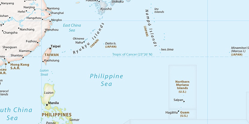
Kitadaito Airport, (airport) is located in Okinawa, in Japan (Asia). It is placed in GMT+9 time zone with current time of 07:12 AM, Sunday. Offset from your time zone: minutes.
| Latitude | 

|
|
| decimal | 25.94472 | |
| DMS | 25° 56' 40.992" N | |
| Distances from | ||
| North pole | 7122.3 km | |
| Equator | 2884.8 km | |
| South pole | 12891.8 km | |
| Longitude | 
|
|
| decimal | 131.32694 | |
| DMS | 131° 19' 36.984" E | |
| Distance from prime meridian: 12234.4 km to East |
||
List of nearest places sort by population
Naha 365.1 km 274°
274° 277°275°277°282°274°
 325°277°276°278°

Marker is showing location of Kitadaito Airport on map(s). You can click on marker if you want to hide it.
 T: 0.00404 s.
2026 © Location.zone | Terms of use | Contact
 36°
36° 22°
22° 27°
27° 354°
354° 162°
162° 293°
293° 111°
111°