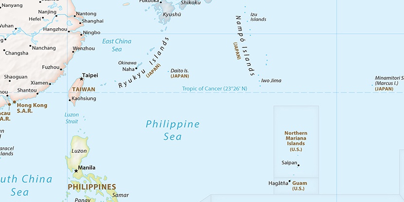
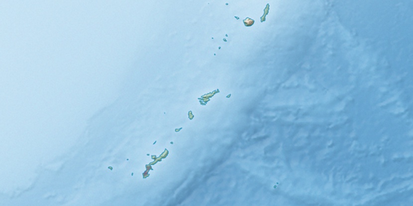
Okuma Army Air Field, (airport) is located in Okinawa, in Japan (Asia). It is placed in GMT+9 time zone with current time of 04:52 PM, Sunday. Offset from your time zone: minutes.
| Latitude | 

|
|
| decimal | 26.74083 | |
| DMS | 26° 44' 26.988" N | |
| Distances from | ||
| North pole | 7033.8 km | |
| Equator | 2973.3 km | |
| South pole | 12980.4 km | |
| Longitude | 
|
|
| decimal | 128.16056 | |
| DMS | 128° 9' 38.016" E | |
| Distance from prime meridian: 11883.6 km to East |
||
List of nearest places sort by population
Naha 75.2 km 219°218°216°
 214°
214° 231°215°217°212°218°223°

Marker is showing location of Okuma Army Air Field on map(s). You can click on marker if you want to hide it.
 T: 0.00445 s.
2026 © Location.zone | Terms of use | Contact
 47°
47° 38°
38° 33°
33° 15°
15° 160°
160° 293°
293° 284°
284° 111°
111°