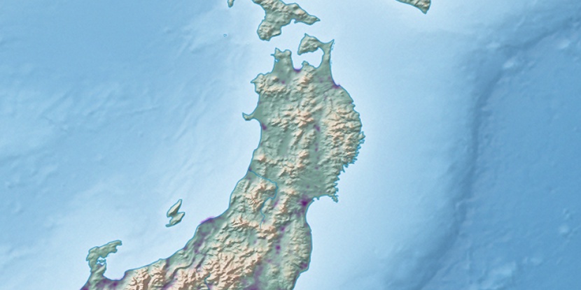
Kamo Kō, (harbor(s)) is located in Yamagata, in Japan (Asia). It is placed in GMT+9 time zone with current time of 11:51 AM, Saturday. Offset from your time zone: minutes.
| Latitude | 

|
|
| decimal | 38.76737 | |
| DMS | 38° 46' 2.532" N | |
| Distances from | ||
| North pole | 5696.5 km | |
| Equator | 4310.5 km | |
| South pole | 14317.6 km | |
| Longitude | 
|
|
| decimal | 139.72977 | |
| DMS | 139° 43' 47.172" E | |
| Distance from prime meridian: 10464.7 km to East |
||
List of nearest places sort by population
Sakata 19.8 km 33°
33° 122°
122° 129°122°132°
 91°
91° 199°
199° 160°
160° 107°31°

Marker is showing location of Kamo Kō on map(s). You can click on marker if you want to hide it.
 T: 0.00527 s.
2026 © Location.zone | Terms of use | Contact
 180°
180° 219°
219° 212°
212° 15°
15° 235°
235° 283°
283° 171°
171°