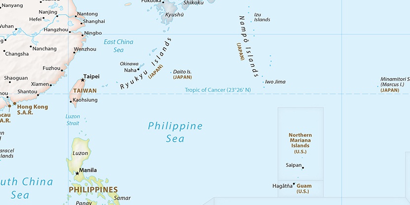
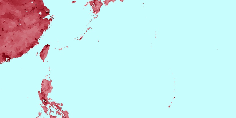
Kita Kō, (harbor(s)) is located in Tokyo, in Japan (Asia). It is placed in GMT+9 time zone with current time of 04:01 PM, Saturday. Offset from your time zone: minutes.
| Latitude | 

|
|
| decimal | 26.69904 | |
| DMS | 26° 41' 56.544" N | |
| Distances from | ||
| North pole | 7038.4 km | |
| Equator | 2968.7 km | |
| South pole | 12975.7 km | |
| Longitude | 
|
|
| decimal | 142.14177 | |
| DMS | 142° 8' 30.372" E | |
| Distance from prime meridian: 12826.6 km to East |
||
List of nearest places sort by population
Itō 964.4 km 342°
342° 345°346°348°341°337°349°336°350°340°

Marker is showing location of Kita Kō on map(s). You can click on marker if you want to hide it.
 T: 0.0053 s.
2026 © Location.zone | Terms of use | Contact
 324°
324° 332°
332° 357°
357° 304°
304° 171°
171° 290°
290° 284°
284° 113°
113°