Ryōtsu Kō, (harbor(s)) is located in Niigata, in Japan (Asia). It is placed in GMT+9 time zone with current time of 02:05 AM, Saturday. Offset from your time zone: minutes.
| Latitude | 

|
|
| decimal | 38.08333 | |
| DMS | 38° 4' 59.988" N | |
| Distances from | ||
| North pole | 5772.6 km | |
| Equator | 4234.5 km | |
| South pole | 14241.5 km | |
| Longitude | 
|
|
| decimal | 138.45 | |
| DMS | 138° 27' 0" E | |
| Distance from prime meridian: 10537.8 km to East |
||
List of nearest places sort by population
Niigata 53.4 km 114°
114° 139°
139° 118°138°
 125°112°132°134°139°
 238°
238°

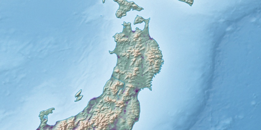
Marker is showing location of Ryōtsu Kō on map(s). You can click on marker if you want to hide it.
 T: 0.00503 s.
2026 © Location.zone | Terms of use | Contact
 157°
157° 214°
214° 203°
203° 23°
23° 217°
217° 284°
284° 170°
170°