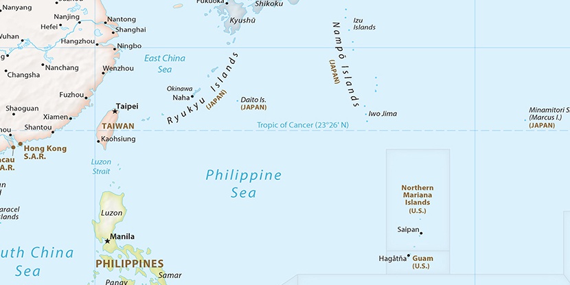
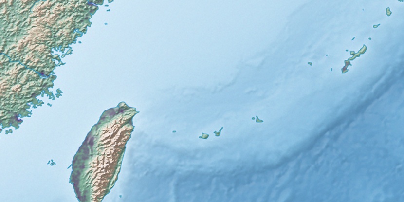
Banna Dake, (mountain) is located in Okinawa, in Japan (Asia). It is placed in GMT+9 time zone with current time of 12:17 PM, Saturday. Offset from your time zone: minutes.
| Latitude | 

|
|
| decimal | 24.37177 | |
| DMS | 24° 22' 18.372" N | |
| Distances from | ||
| North pole | 7297.2 km | |
| Equator | 2709.9 km | |
| South pole | 12716.9 km | |
| Longitude | 
|
|
| decimal | 124.16206 | |
| DMS | 124° 9' 43.416" E | |
| Distance from prime meridian: 11919 km to East |
||
List of nearest places sort by population
Naha 409.1 km 59°59°59°61°60°
 189°
189° 67°59°59°
 275°
275°

Marker is showing location of Banna Dake on map(s). You can click on marker if you want to hide it.
 T: 0.01301 s.
2026 © Location.zone | Terms of use | Contact
 49°
49° 43°
43° 30°
30° 156°
156° 296°
296° 288°
288° 110°
110°