Etanpakku Yama, (mountain) is located in Hokkaido, in Japan (Asia). It is placed in GMT+9 time zone with current time of 02:20 AM, Saturday. Offset from your time zone: minutes.
| Latitude | 

|
|
| decimal | 45.23581 | |
| DMS | 45° 14' 8.916" N | |
| Distances from | ||
| North pole | 4977.3 km | |
| Equator | 5029.8 km | |
| South pole | 15036.8 km | |
| Longitude | 
|
|
| decimal | 141.99673 | |
| DMS | 141° 59' 48.228" E | |
| Distance from prime meridian: 9283.3 km to East |
||
List of nearest places sort by population
Asahikawa 165.5 km 169°
169° 182°
182° 307°
307° 132°
132° 159°
159° 190°178°
 317°158°
 262°
262°

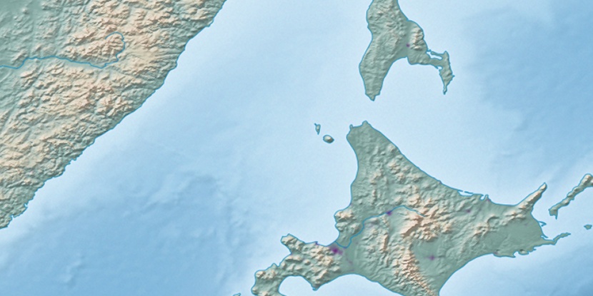
Marker is showing location of Etanpakku Yama on map(s). You can click on marker if you want to hide it.
 T: 0.01399 s.
2026 © Location.zone | Terms of use | Contact
 205°
205° 201°
201° 217°
217° 279°
279° 274°
274° 120°
120°