Matakotan-yama, (mountain) is located in Hokkaido, in Japan (Asia). It is placed in GMT+9 time zone with current time of 06:48 PM, Saturday. Offset from your time zone: minutes.
| Latitude | 

|
|
| decimal | 43.85388 | |
| DMS | 43° 51' 13.968" N | |
| Distances from | ||
| North pole | 5131 km | |
| Equator | 4876.1 km | |
| South pole | 14883.2 km | |
| Longitude | 
|
|
| decimal | 146.75898 | |
| DMS | 146° 45' 32.328" E | |
| Distance from prime meridian: 9719.7 km to East |
||
List of nearest places sort by population
Kushiro 215.9 km 243°
243° 250°
250° 268°
268° 275°251°238°281°269°
 260°
260° 288°
288°

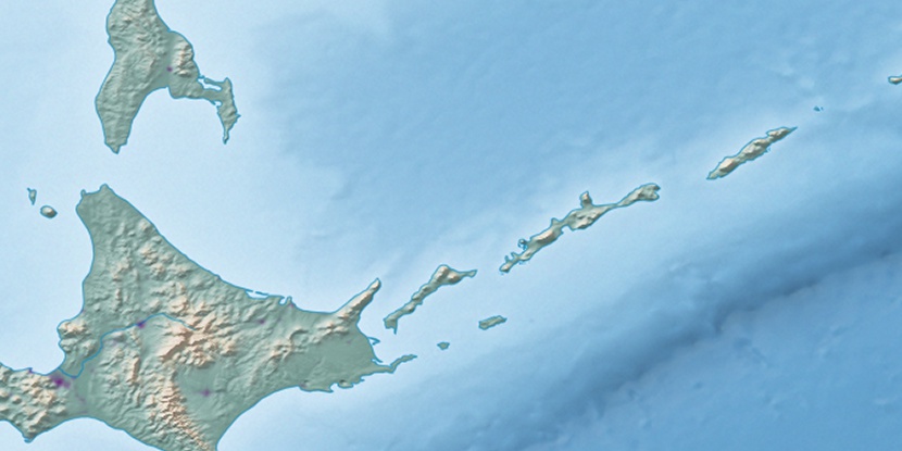
Marker is showing location of Matakotan-yama on map(s). You can click on marker if you want to hide it.
 T: 0.01281 s.
2026 © Location.zone | Terms of use | Contact
 213°
213° 223°
223° 231°
231° 177°
177° 120°
120°