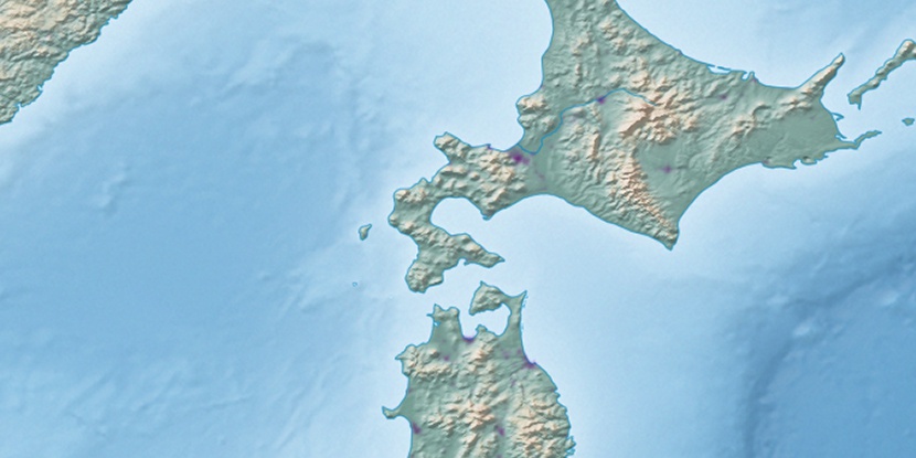
Ribira Yama, (mountain) is located in Hokkaido, in Japan (Asia). It is placed in GMT+9 time zone with current time of 08:27 AM, Saturday. Offset from your time zone: minutes.
| Latitude | 

|
|
| decimal | 42.62101 | |
| DMS | 42° 37' 15.636" N | |
| Distances from | ||
| North pole | 5268 km | |
| Equator | 4739 km | |
| South pole | 14746.1 km | |
| Longitude | 
|
|
| decimal | 142.484 | |
| DMS | 142° 29' 2.4" E | |
| Distance from prime meridian: 9822 km to East |
||
List of nearest places sort by population
Tomakomai 72.1 km 271°
271° 60°
60° 287°
287° 317°
317° 297°
297° 54°
54° 326°
326° 354°
354° 196°265°

Marker is showing location of Ribira Yama on map(s). You can click on marker if you want to hide it.
 T: 0.0133 s.
2026 © Location.zone | Terms of use | Contact
 214°
214° 215°
215° 226°
226° 280°
280° 174°
174° 119°
119°