Sangō, (populated place) is located in Hokkaido, in Japan (Asia). It is placed in GMT+9 time zone with current time of 05:09 PM, Saturday. Offset from your time zone: minutes.
| Latitude | 

|
|
| decimal | 43.91667 | |
| DMS | 43° 55' 0.012" N | |
| Distances from | ||
| North pole | 5124 km | |
| Equator | 4883.1 km | |
| South pole | 14890.1 km | |
| Longitude | 
|
|
| decimal | 143.91667 | |
| DMS | 143° 55' 0.012" E | |
| Distance from prime meridian: 9613.5 km to East |
||
List of nearest places sort by population
Asahikawa 125.5 km 262°
262° 160°
160° 207°
207° 189°
189° 67°209°
 317°
317° 124°
124° 106°264°

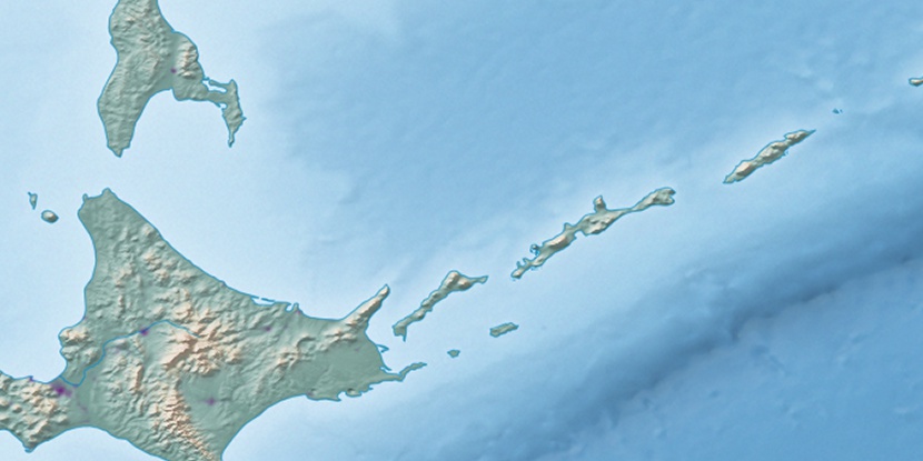
Marker is showing location of Sangō on map(s). You can click on marker if you want to hide it.
 T: 0.00822 s.
2026 © Location.zone | Terms of use | Contact
 201°
201° 215°
215° 245°
245° 225°
225° 279°
279° 175°
175° 274°
274°