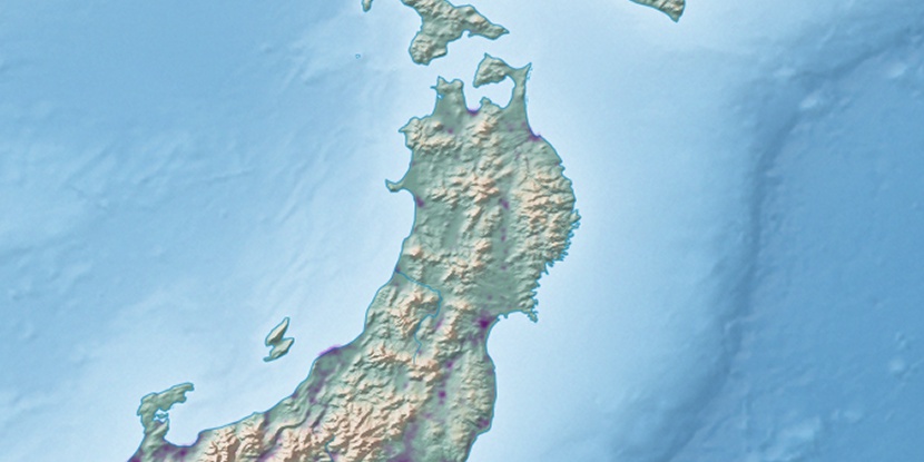
Tashiro Tai, (upland) is located in Aomori, in Japan (Asia). It is placed in GMT+9 time zone with current time of 04:27 PM, Saturday. Offset from your time zone: minutes.
| Latitude | 

|
|
| decimal | 40.69677 | |
| DMS | 40° 41' 48.372" N | |
| Distances from | ||
| North pole | 5482 km | |
| Equator | 4525.1 km | |
| South pole | 14532.1 km | |
| Longitude | 
|
|
| decimal | 140.93394 | |
| DMS | 140° 56' 2.184" E | |
| Distance from prime meridian: 10141.7 km to East |
||
List of nearest places sort by population
Aomorishi 21.5 km 308°
308° 114°
114° 253°
253° 213°
213° 286°
286° 91°
91° 259°
259° 192°
192° 273°285°

Marker is showing location of Tashiro Tai on map(s). You can click on marker if you want to hide it.
 T: 0.0043 s.
2026 © Location.zone | Terms of use | Contact
 215°
215° 7°
7° 229°
229° 282°
282° 172°
172° 118°
118°