Isla Clarión, (island) is located in Colima, in Mexico (America). It is placed in GMT-7 time zone with current time of 02:20 PM, Sunday. Offset from your time zone: minutes.
| Latitude | 

|
|
| decimal | 18.357 | |
| DMS | 18° 21' 25.2" N | |
| Distances from | ||
| North pole | 7966 km | |
| Equator | 2041.1 km | |
| South pole | 12048.2 km | |
| Longitude | 
|
|
| decimal | -114.71943 | |
| DMS | 114° 43' 9.948" W | |
| Distance from prime meridian: 11798.5 km to West |
||
List of nearest places sort by population
La Paz 789.6 km 35°44°44°44°44°
 34°39°40°37°
 45°
45°

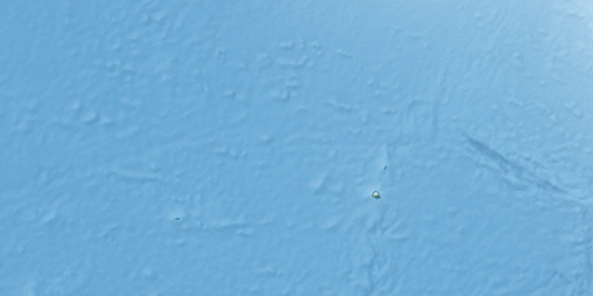
Marker is showing location of Isla Clarión on map(s). You can click on marker if you want to hide it.
 T: 0.02158 s.
2026 © Location.zone | Terms of use | Contact
 85°
85° 77°
77° 351°
351° 61°
61° 140°
140° 70°
70° 280°
280° 239°
239°