Akaroa County, (historical first-order administrative division) is located in New Zealand (Pacific). It is placed in GMT+12 time zone with current time of 06:59 AM, Saturday. Offset from your time zone: minutes.
| Latitude | 

|
|
| decimal | -43.75073 | |
| DMS | 43° 45' 2.628" S | |
| Distances from | ||
| North pole | 14871.7 km | |
| Equator | 4864.6 km | |
| South pole | 5142.4 km | |
| Longitude | 
|
|
| decimal | 172.9981 | |
| DMS | 172° 59' 53.16" E | |
| Distance from prime meridian: 10260.1 km to East |
||
List of nearest places sort by population
Christchurch 38 km 309°
309° 325°
325° 295°
295° 290°331°285°292°
 268°285°
 341°
341°

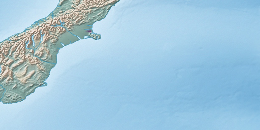
Marker is showing location of Akaroa County on map(s). You can click on marker if you want to hide it.
 T: 0.00207 s.
2026 © Location.zone | Terms of use | Contact
 11°
11° 27°
27° 16°
16° 219°
219° 83°
83°