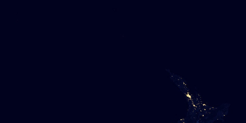
Great Barrier Island County, (historical first-order administrative division) is located in New Zealand (Pacific). It is placed in GMT+12 time zone with current time of 09:09 AM, Monday. Offset from your time zone: minutes.
| Latitude | 

|
|
| decimal | -36.16667 | |
| DMS | 36° 10' 0.012" S | |
| Distances from | ||
| North pole | 14028.4 km | |
| Equator | 4021.4 km | |
| South pole | 5985.7 km | |
| Longitude | 
|
|
| decimal | 175.41667 | |
| DMS | 175° 25' 0.012" E | |
| Distance from prime meridian: 11957.5 km to East |
||
List of nearest places sort by population
North Shore 92.3 km 220°
220° 209°224°223°211°
 248°
248° 161°
161° 288°
288° 260°
260° 173°
173°

Marker is showing location of Great Barrier Island County on map(s). You can click on marker if you want to hide it.
 T: 0.00197 s.
2026 © Location.zone | Terms of use | Contact
 185°
185° 196°
196° 183°
183° 276°
276° 335°
335° 88°
88° 307°
307° 301°
301°