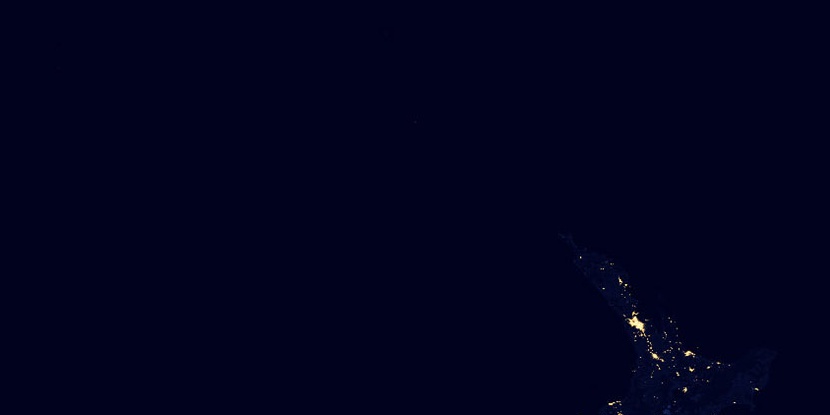
Hobson County, (historical first-order administrative division) is located in New Zealand (Pacific). It is placed in GMT+12 time zone with current time of 11:05 PM, Saturday. Offset from your time zone: minutes.
| Latitude | 

|
|
| decimal | -36 | |
| DMS | 36° 0' 0" S | |
| Distances from | ||
| North pole | 14009.9 km | |
| Equator | 4002.8 km | |
| South pole | 6004.2 km | |
| Longitude | 
|
|
| decimal | 173.91667 | |
| DMS | 173° 55' 0.012" E | |
| Distance from prime meridian: 11983.8 km to East |
||
List of nearest places sort by population
Whangarei 47.3 km 50°
50° 337°
337° 123°
123° 77°
77° 357°120°
 8°11°50°
 42°
42°

Marker is showing location of Hobson County on map(s). You can click on marker if you want to hide it.
 T: 0.00206 s.
2026 © Location.zone | Terms of use | Contact
 141°
141° 172°
172° 187°
187° 146°
146° 133°
133° 276°
276° 88°
88° 307°
307° 302°
302°