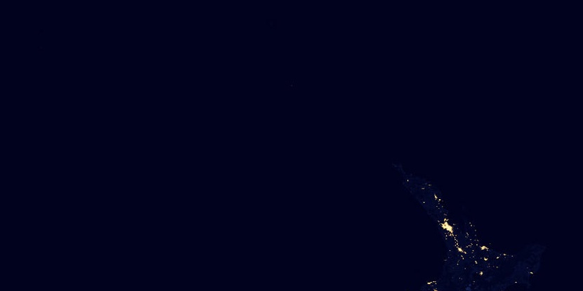
Hokianga County, (historical first-order administrative division) is located in New Zealand (Pacific). It is placed in GMT+12 time zone with current time of 02:57 AM, Sunday. Offset from your time zone: minutes.
| Latitude | 

|
|
| decimal | -35.41667 | |
| DMS | 35° 25' 0.012" S | |
| Distances from | ||
| North pole | 13945 km | |
| Equator | 3938 km | |
| South pole | 6069.1 km | |
| Longitude | 
|
|
| decimal | 173.5 | |
| DMS | 173° 30' 0" E | |
| Distance from prime meridian: 12109.4 km to East |
||
List of nearest places sort by population
Whangarei 82.3 km 115°
115° 62°
62° 148°
148° 72°74°
 356°
356° 85°85°
 312°120°

Marker is showing location of Hokianga County on map(s). You can click on marker if you want to hide it.
 T: 0.002 s.
2026 © Location.zone | Terms of use | Contact
 144°
144° 170°
170° 184°
184° 192°
192° 274°
274° 336°
336° 301°
301°