Holmwood, (farmstead) is located in Canterbury, in New Zealand (Pacific). It is placed in GMT+12 time zone with current time of 02:46 AM, Sunday. Offset from your time zone: minutes.
| Latitude | 

|
|
| decimal | -43.91834 | |
| DMS | 43° 55' 6.024" S | |
| Distances from | ||
| North pole | 14890.3 km | |
| Equator | 4883.3 km | |
| South pole | 5123.8 km | |
| Longitude | 
|
|
| decimal | 171.75011 | |
| DMS | 171° 45' 0.396" E | |
| Distance from prime meridian: 10213.4 km to East |
||
List of nearest places sort by population
Ashburton 2.7 km 324°
324° 53°
53° 273°
273° 63°
63° 31°
31° 69°53°
 345°
345° 231°48°

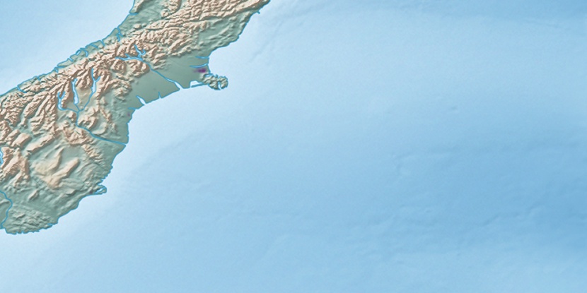
Marker is showing location of Holmwood on map(s). You can click on marker if you want to hide it.
 T: 0.02473 s.
2026 © Location.zone | Terms of use | Contact
 18°
18° 40°
40° 204°
204° 302°
302° 83°
83° 339°
339° 310°
310°