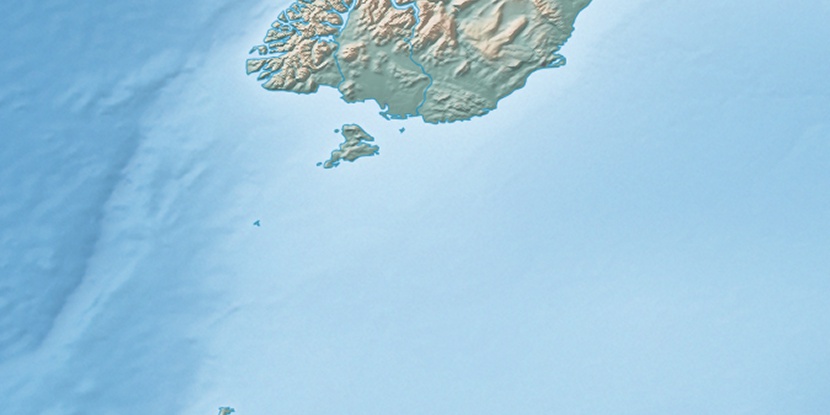
Burnt Island, (island) is located in Southland, in New Zealand (Pacific). It is placed in GMT+12 time zone with current time of 05:39 PM, Saturday. Offset from your time zone: minutes.
| Latitude | 

|
|
| decimal | -47.15844 | |
| DMS | 47° 9' 30.384" S | |
| Distances from | ||
| North pole | 15250.6 km | |
| Equator | 5243.5 km | |
| South pole | 4763.5 km | |
| Longitude | 
|
|
| decimal | 167.70009 | |
| DMS | 167° 42' 0.324" E | |
| Distance from prime meridian: 9459.2 km to East |
||
List of nearest places sort by population
Invercargill 97.8 km 30°
30° 38°
38° 63°56°
 20°23°
 0°56°37°15°

Marker is showing location of Burnt Island on map(s). You can click on marker if you want to hide it.
 T: 0.00483 s.
2026 © Location.zone | Terms of use | Contact
 316°
316° 81°
81° 343°
343° 312°
312° 304°
304°