Leeward Island, (island) is located in New Zealand (Pacific). It is placed in GMT+12 time zone with current time of 10:23 PM, Saturday. Offset from your time zone: minutes.
| Latitude | 

|
|
| decimal | -49.68694 | |
| DMS | 49° 41' 12.984" S | |
| Distances from | ||
| North pole | 15531.7 km | |
| Equator | 5524.7 km | |
| South pole | 4482.4 km | |
| Longitude | 
|
|
| decimal | 178.80944 | |
| DMS | 178° 48' 33.984" E | |
| Distance from prime meridian: 8964.2 km to East |
||
List of nearest places sort by population
Christchurch 830.5 km 325°
325° 304°
304° 315°
315° 310°296°299°324°301°323°304°

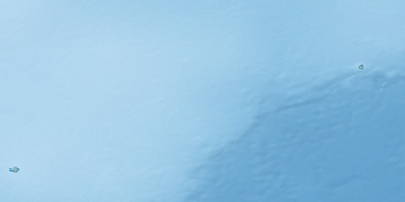
Marker is showing location of Leeward Island on map(s). You can click on marker if you want to hide it.
 T: 0.00477 s.
2026 © Location.zone | Terms of use | Contact
 347°
347° 341°
341° 78°
78°