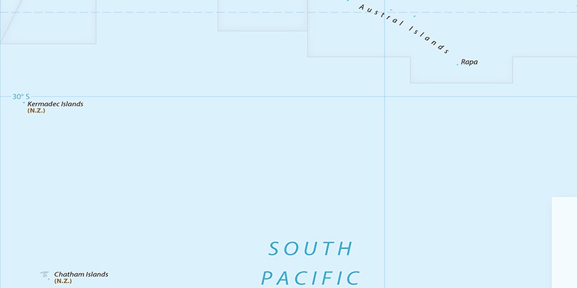
Meyer Island, (island) is located in New Zealand (Pacific). It is placed in GMT+12 time zone with current time of 09:58 AM, Saturday. Offset from your time zone: minutes.
| Latitude | 

|
|
| decimal | -29.24362 | |
| DMS | 29° 14' 37.032" S | |
| Distances from | ||
| North pole | 13258.6 km | |
| Equator | 3251.6 km | |
| South pole | 6755.5 km | |
| Longitude | 
|
|
| decimal | -177.87632 | |
| DMS | 177° 52' 34.752" W | |
| Distance from prime meridian: 13507 km to West |
||
List of nearest places sort by population
Invercargill 2251.4 km 212°211°214°213°213°212°213°
 215°211°212°

Marker is showing location of Meyer Island on map(s). You can click on marker if you want to hide it.
 T: 0.00484 s.
2026 © Location.zone | Terms of use | Contact
 260°
260° 328°
328° 92°
92° 304°
304° 62°
62°