Milford Island (Wairaupo Island), (island) is located in Auckland, in New Zealand (Pacific). It is placed in GMT+12 time zone with current time of 02:06 PM, Tuesday. Offset from your time zone: minutes.
| Latitude | 

|
|
| decimal | -35.01818 | |
| DMS | 35° 1' 5.448" S | |
| Distances from | ||
| North pole | 13900.7 km | |
| Equator | 3893.7 km | |
| South pole | 6113.4 km | |
| Longitude | 
|
|
| decimal | 173.75018 | |
| DMS | 173° 45' 0.648" E | |
| Distance from prime meridian: 12199.8 km to East |
||
List of nearest places sort by population
Whangarei 94.9 km 146°
146° 142°
142° 159°
159° 133°
133° 275°147°144°134°
 252°153°

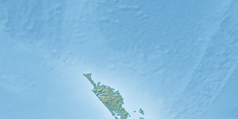
Marker is showing location of Milford Island (Wairaupo Island) on map(s). You can click on marker if you want to hide it.
 T: 0.00472 s.
2026 © Location.zone | Terms of use | Contact
 172°
172° 185°
185° 273°
273° 335°
335° 89°
89° 307°
307° 301°
301°