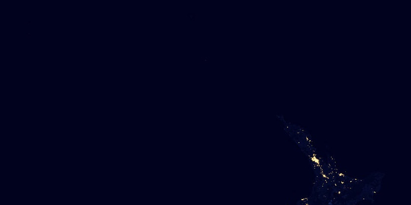
Motutara Island, (island) is located in New Zealand (Pacific). It is placed in GMT+12 time zone with current time of 08:34 PM, Sunday. Offset from your time zone: minutes.
| Latitude | 

|
|
| decimal | -35.63944 | |
| DMS | 35° 38' 21.984" S | |
| Distances from | ||
| North pole | 13969.8 km | |
| Equator | 3962.7 km | |
| South pole | 6044.3 km | |
| Longitude | 
|
|
| decimal | 174.53583 | |
| DMS | 174° 32' 8.988" E | |
| Distance from prime meridian: 12068.5 km to East |
||
List of nearest places sort by population
Whangarei 21.7 km 241°
241° 310°240°
 194°
194° 301°314°302°303°308°
 247°
247°

Marker is showing location of Motutara Island on map(s). You can click on marker if you want to hide it.
 T: 0.00472 s.
2026 © Location.zone | Terms of use | Contact
 171°
171° 178°
178° 164°
164° 196°
196° 147°
147° 275°
275° 335°
335° 88°
88°