Rustara Island, (island) is located in New Zealand (Pacific). It is placed in GMT+12 time zone with current time of 04:40 PM, Saturday. Offset from your time zone: minutes.
| Latitude | 

|
|
| decimal | -47.75528 | |
| DMS | 47° 45' 19.008" S | |
| Distances from | ||
| North pole | 15317 km | |
| Equator | 5309.9 km | |
| South pole | 4697.2 km | |
| Longitude | 
|
|
| decimal | 179.02333 | |
| DMS | 179° 1' 23.988" E | |
| Distance from prime meridian: 9393.9 km to East |
||
List of nearest places sort by population
Christchurch 683 km 313°
313° 287°
287° 295°314°312°311°311°310°311°288°

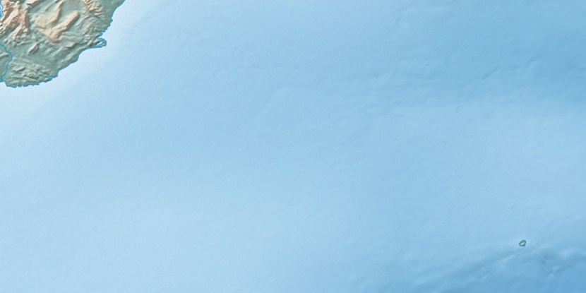
Marker is showing location of Rustara Island on map(s). You can click on marker if you want to hide it.
 T: 0.0048 s.
2026 © Location.zone | Terms of use | Contact
 343°
343° 334°
334° 348°
348° 80°
80°