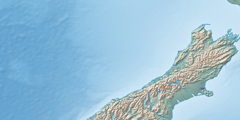
Browning Range, (mountains) is located in New Zealand (Pacific). It is placed in GMT+12 time zone with current time of 12:56 PM, Saturday. Offset from your time zone: minutes.
| Latitude | 

|
|
| decimal | -42.91667 | |
| DMS | 42° 55' 0.012" S | |
| Distances from | ||
| North pole | 14778.9 km | |
| Equator | 4771.9 km | |
| South pole | 5235.2 km | |
| Longitude | 
|
|
| decimal | 171.25 | |
| DMS | 171° 15' 0" E | |
| Distance from prime meridian: 10430.5 km to East |
||
List of nearest places sort by population
Ashburton 115.8 km 160°
160° 355°
355° 313°
313° 128°161°
 119°131°132°157°
 146°
146°

Marker is showing location of Browning Range on map(s). You can click on marker if you want to hide it.
 T: 0.00397 s.
2026 © Location.zone | Terms of use | Contact
 24°
24° 58°
58° 25°
25° 190°
190° 35°
35° 300°
300° 339°
339° 84°
84°