Devils Backbone, (ridge(s)) is located in West Coast, in New Zealand (Pacific). It is placed in GMT+12 time zone with current time of 10:20 AM, Saturday. Offset from your time zone: minutes.
| Latitude | 

|
|
| decimal | -43.3183 | |
| DMS | 43° 19' 5.88" S | |
| Distances from | ||
| North pole | 14823.6 km | |
| Equator | 4816.5 km | |
| South pole | 5190.5 km | |
| Longitude | 
|
|
| decimal | 170.63011 | |
| DMS | 170° 37' 48.396" E | |
| Distance from prime meridian: 10336 km to East |
||
List of nearest places sort by population
Ashburton 109.6 km 126°
126° 157°
157° 26°
26° 22°127°
 89°
89° 98°
98° 113°159°113°

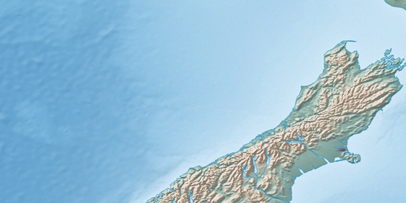
Marker is showing location of Devils Backbone on map(s). You can click on marker if you want to hide it.
 T: 0.00363 s.
2026 © Location.zone | Terms of use | Contact
 56°
56° 182°
182° 36°
36° 301°
301° 340°
340° 83°
83° 310°
310°