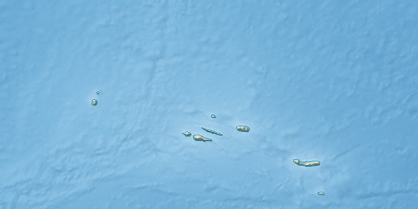
Santo Amaro, (third-order administrative division) is located in Azores, in Portugal (Atlantic). It is placed in GMT0 time zone with current time of 09:25 PM, Sunday. Offset from your time zone: minutes.
| Latitude | 

|
|
| decimal | 38.44812 | |
| DMS | 38° 26' 53.232" N | |
| Distances from | ||
| North pole | 5732 km | |
| Equator | 4275 km | |
| South pole | 14282.1 km | |
| Longitude | 
|
|
| decimal | -28.15592 | |
| DMS | 28° 9' 21.312" W | |
| Distance from prime meridian: 2442.2 km to West |
||
List of nearest places sort by population
Horta 42.1 km 283°
283° 286°
286° 349°279°
 35°
35° 299°300°281°279°41°

Marker is showing location of Santo Amaro on map(s). You can click on marker if you want to hide it.
 T: 0.01262 s.
2026 © Location.zone | Terms of use | Contact
 88°
88° 79°
79° 122°
122° 56°
56° 68°
68° 208°
208° 113°
113°