Santo Amaro, (third-order administrative division) is located in Azores, in Portugal (Atlantic). It is placed in GMT0 time zone with current time of 11:30 PM, Sunday. Offset from your time zone: minutes.
| Latitude | 

|
|
| decimal | 38.68442 | |
| DMS | 38° 41' 3.912" N | |
| Distances from | ||
| North pole | 5705.8 km | |
| Equator | 4301.3 km | |
| South pole | 14308.4 km | |
| Longitude | 
|
|
| decimal | -28.16164 | |
| DMS | 28° 9' 41.904" W | |
| Distance from prime meridian: 2434.5 km to West |
||
List of nearest places sort by population
Lagoa 43.5 km 20°
20° 247°
247° 242°
242° 265°
265° 126°
126° 214°
214° 218°246°16°
 121°
121°

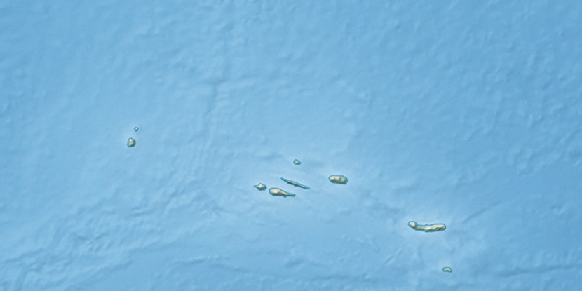
Marker is showing location of Santo Amaro on map(s). You can click on marker if you want to hide it.
 T: 0.01291 s.
2026 © Location.zone | Terms of use | Contact
 89°
89° 80°
80° 56°
56° 68°
68° 113°
113°