Cabeço do Caminho Escuro, (mountain) is located in Azores, in Portugal (Atlantic). It is placed in GMT0 time zone with current time of 02:54 PM, Friday. Offset from your time zone: minutes.
| Latitude | 

|
|
| decimal | 38.42347 | |
| DMS | 38° 25' 24.492" N | |
| Distances from | ||
| North pole | 5734.8 km | |
| Equator | 4272.3 km | |
| South pole | 14279.4 km | |
| Longitude | 
|
|
| decimal | -28.08947 | |
| DMS | 28° 5' 22.092" W | |
| Distance from prime meridian: 2437.3 km to West |
||
List of nearest places sort by population
Horta 48.4 km 285°288°
 340°
340° 281°
281° 17°
17° 298°299°283°281°
 25°
25°

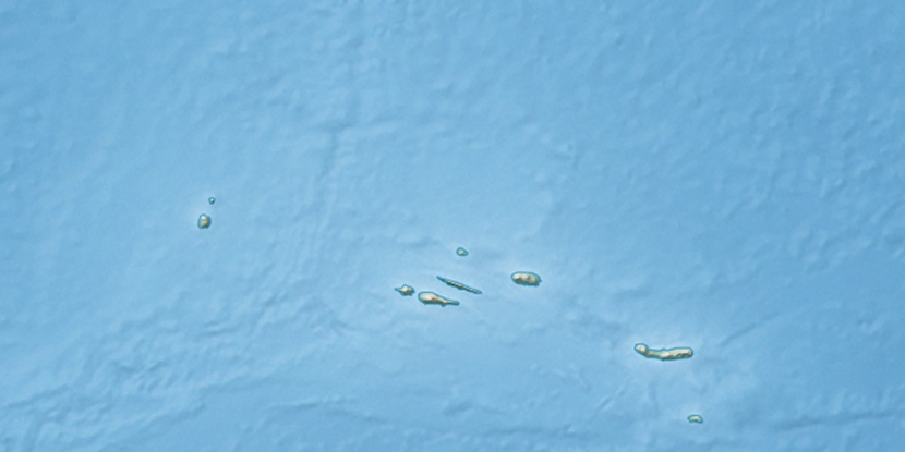
Marker is showing location of Cabeço do Caminho Escuro on map(s). You can click on marker if you want to hide it.
 T: 0.00489 s.
2026 © Location.zone | Terms of use | Contact
 88°
88° 79°
79° 122°
122° 56°
56° 68°
68° 208°
208° 113°
113°