Kalga, (airfield) is located in Transbaikal Territory, in Russia (Asia). It is placed in GMT+9 time zone with current time of 02:24 PM, Sunday. Offset from your time zone: minutes.
| Latitude | 

|
|
| decimal | 50.9263 | |
| DMS | 50° 55' 34.68" N | |
| Distances from | ||
| North pole | 4344.6 km | |
| Equator | 5662.5 km | |
| South pole | 15669.5 km | |
| Longitude | 
|
|
| decimal | 118.9203 | |
| DMS | 118° 55' 13.08" E | |
| Distance from prime meridian: 7311.8 km to East |
||
List of nearest places sort by population
Krasnokamensk 111.3 km 214°
214° 168°
168° 330°
330° 310°
310° 48°
48° 269°
269° 230°330°
 299°
299° 88°
88°

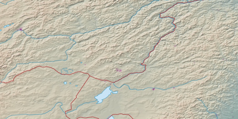
Marker is showing location of Kalga on map(s). You can click on marker if you want to hide it.
 T: 0.02118 s.
2026 © Location.zone | Terms of use | Contact
 275°
275° 135°
135° 161°
161° 119°
119°