Tura Airport, (airport) is located in Russia (Asia). It is placed in GMT+7 time zone with current time of 02:05 AM, Monday. Offset from your time zone: minutes.
| Latitude | 

|
|
| decimal | 64.33411 | |
| DMS | 64° 20' 2.796" N | |
| Distances from | ||
| North pole | 2853.8 km | |
| Equator | 7153.3 km | |
| South pole | 17160.3 km | |
| Longitude | 
|
|
| decimal | 100.43324 | |
| DMS | 100° 25' 59.664" E | |
| Distance from prime meridian: 4323.3 km to East |
||
List of nearest places sort by population
Kodinsk 631.2 km 186°
186° 70°
70° 220°
220° 238°
238° 103°
103° 214°
214° 167°239°
 131°222°

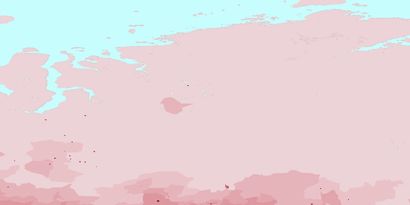
Marker is showing location of Tura Airport on map(s). You can click on marker if you want to hide it.
 T: 0.01978 s.
2026 © Location.zone | Terms of use | Contact
 254°
254° 262°
262° 139°
139° 157°
157° 234°
234°