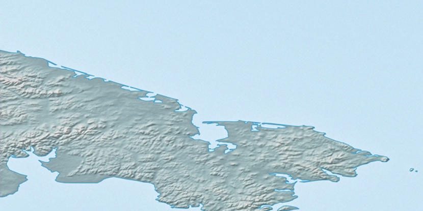
Cape Serdtse-Kamen, (cape) is located in Chukotskiy Avtonomnyy Okrug, in Russia (Asia). It is placed in GMT+12 time zone with current time of 12:54 AM, Monday. Offset from your time zone: minutes.
| Latitude | 

|
|
| decimal | 66.91028 | |
| DMS | 66° 54' 37.008" N | |
| Distances from | ||
| North pole | 2567.3 km | |
| Equator | 7439.7 km | |
| South pole | 17446.8 km | |
| Longitude | 
|
|
| decimal | -171.6334 | |
| DMS | 171° 38' 0.24" W | |
| Distance from prime meridian: 5120.2 km to West |
||
List of nearest places sort by population
Baltiysk 6463 km 261°261°261°261°
 194°258°261°261°
 181°
181° 169°
169°

Marker is showing location of Cape Serdtse-Kamen on map(s). You can click on marker if you want to hide it.
 T: 0.02602 s.
2026 © Location.zone | Terms of use | Contact
 222°
222° 100°
100° 196°
196° 141°
141°