Kol’tsovka, (populated place) is located in Amur, in Russia (Asia). It is placed in GMT+9 time zone with current time of 08:53 AM, Monday. Offset from your time zone: minutes.
| Latitude | 

|
|
| decimal | 51.35974 | |
| DMS | 51° 21' 35.064" N | |
| Distances from | ||
| North pole | 4296.4 km | |
| Equator | 5710.7 km | |
| South pole | 15717.7 km | |
| Longitude | 
|
|
| decimal | 128.97081 | |
| DMS | 128° 58' 14.916" E | |
| Distance from prime meridian: 7627.7 km to East |
||
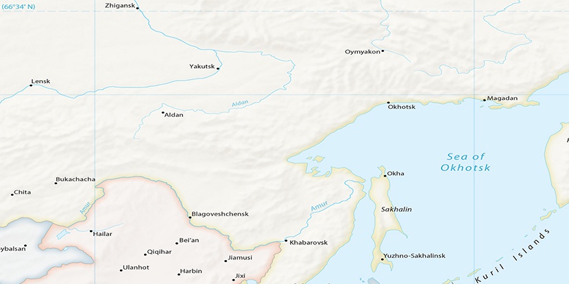
List of nearest places sort by population
Belogorsk 60.1 km 214°
214° 271°
271° 308°
308° 166°
166° 234°174°
 204°
204° 143°
143° 220°
220° 162°
162°

Marker is showing location of Kol’tsovka on map(s). You can click on marker if you want to hide it.
 T: 0.02179 s.
2026 © Location.zone | Terms of use | Contact
 278°
278° 153°
153° 120°
120°