Kamara, (populated place) is located in Transbaikal Territory, in Russia (Asia). It is placed in GMT+9 time zone with current time of 06:35 AM, Friday. Offset from your time zone: minutes.
| Latitude | 

|
|
| decimal | 51.59818 | |
| DMS | 51° 35' 53.448" N | |
| Distances from | ||
| North pole | 4269.9 km | |
| Equator | 5737.2 km | |
| South pole | 15744.2 km | |
| Longitude | 
|
|
| decimal | 120.02228 | |
| DMS | 120° 1' 20.208" E | |
| Distance from prime meridian: 7238.1 km to East |
||
List of nearest places sort by population
Priargunsk 151.1 km 205°
205° 294°
294° 226°
226° 272°
272° 221°
221° 242°267°
 325°
325° 257°214°

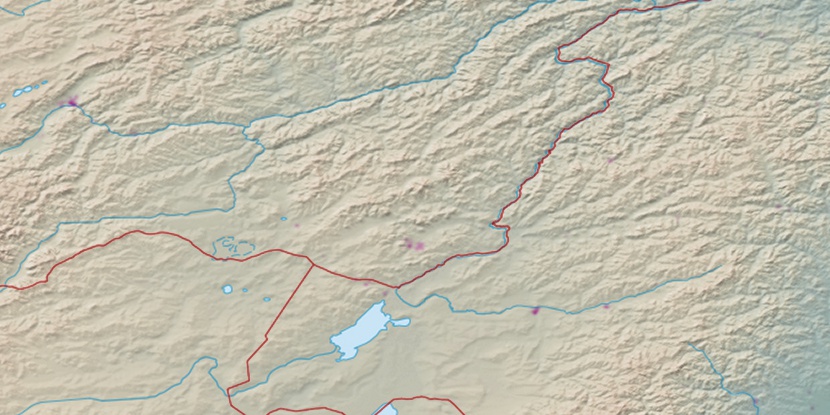
Marker is showing location of Kamara on map(s). You can click on marker if you want to hide it.
 T: 0.0239 s.
2026 © Location.zone | Terms of use | Contact
 279°
279° 138°
138° 162°
162° 119°
119°