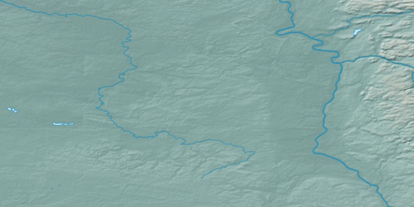
Krasnosel’kup, (populated place) is located in Yamalo-Nenetskiy Avtonomnyy Okrug, in Russia (Asia). It is placed in GMT+5 time zone with current time of 04:05 PM, Saturday. Offset from your time zone: minutes.
| Latitude | 

|
|
| decimal | 65.70384 | |
| DMS | 65° 42' 13.824" N | |
| Distances from | ||
| North pole | 2701.5 km | |
| Equator | 7305.6 km | |
| South pole | 17312.6 km | |
| Longitude | 
|
|
| decimal | 82.45497 | |
| DMS | 82° 27' 17.892" E | |
| Distance from prime meridian: 3498.9 km to East |
||
List of nearest places sort by population
Novyy Urengoy 267.6 km 279°
279° 243°
243° 248°278°243°
 43°
43° 319°
319° 87°
87° 62°40°

Marker is showing location of Krasnosel’kup on map(s). You can click on marker if you want to hide it.
 T: 0.02031 s.
2026 © Location.zone | Terms of use | Contact
 256°
256° 178°
178° 229°
229° 202°
202° 224°
224° 130°
130° 151°
151°