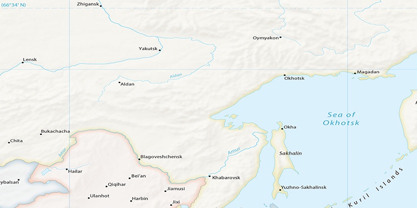
Kol’tsovo, (abandoned populated place) is located in Amur, in Russia (Asia). It is placed in GMT+9 time zone with current time of 02:24 AM, Sunday. Offset from your time zone: minutes.
| Latitude | 

|
|
| decimal | 51.9751 | |
| DMS | 51° 58' 30.36" N | |
| Distances from | ||
| North pole | 4228 km | |
| Equator | 5779.1 km | |
| South pole | 15786.2 km | |
| Longitude | 
|
|
| decimal | 126.47559 | |
| DMS | 126° 28' 32.124" E | |
| Distance from prime meridian: 7420.4 km to East |
||
List of nearest places sort by population
Belogorsk 181.9 km 130°
130° 120°
120° 87°126°
 344°
344° 143°
143° 9°
9° 355°
355° 2°14°
2°14°

Marker is showing location of Kol’tsovo on map(s). You can click on marker if you want to hide it.
 T: 0.03948 s.
2026 © Location.zone | Terms of use | Contact
 274°
274° 278°
278° 149°
149° 165°
165°