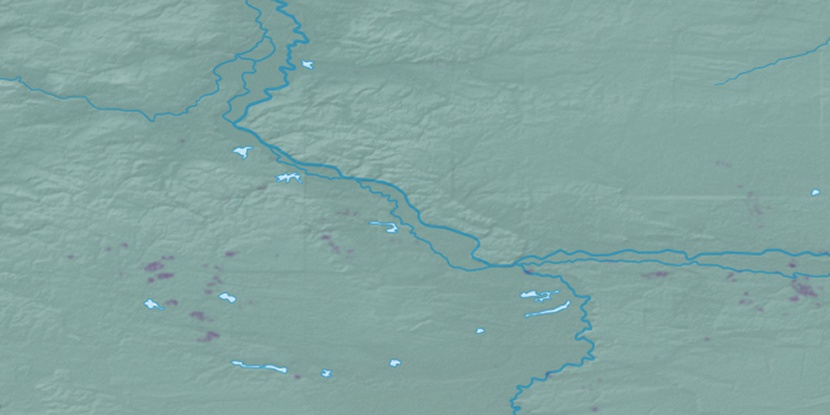
Pantyng, (abandoned populated place) is located in Khanty-Mansiyskiy Avtonomnyy Okrug, in Russia (Asia). It is placed in GMT+5 time zone with current time of 06:45 AM, Tuesday. Offset from your time zone: minutes.
| Latitude | 

|
|
| decimal | 61.88111 | |
| DMS | 61° 52' 51.996" N | |
| Distances from | ||
| North pole | 3126.5 km | |
| Equator | 6880.5 km | |
| South pole | 16887.6 km | |
| Longitude | 
|
|
| decimal | 64.75389 | |
| DMS | 64° 45' 14.004" E | |
| Distance from prime meridian: 3250.8 km to East |
||
List of nearest places sort by population
Nyagan 44.1 km 49°
49° 229°226°
 31°232°
 273°
273° 212°
212° 219°
219° 39°
39° 20°
20°

Marker is showing location of Pantyng on map(s). You can click on marker if you want to hide it.
 T: 0.03908 s.
2026 © Location.zone | Terms of use | Contact
 246°
246° 263°
263° 125°
125° 202°
202° 242°
242° 146°
146° 194°
194° 118°
118° 143°
143°