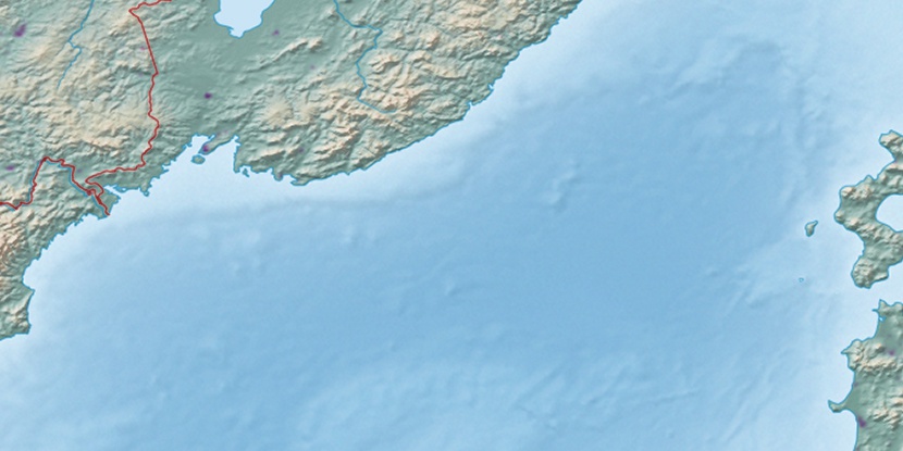
Post 132 km, (railroad signal) is located in Primorskiy, in Russia (Asia). It is placed in GMT+10 time zone with current time of 03:07 AM, Sunday. Offset from your time zone: minutes.
| Latitude | 

|
|
| decimal | 43.10998 | |
| DMS | 43° 6' 35.928" N | |
| Distances from | ||
| North pole | 5213.7 km | |
| Equator | 4793.4 km | |
| South pole | 14800.4 km | |
| Longitude | 
|
|
| decimal | 133.16099 | |
| DMS | 133° 9' 39.564" E | |
| Distance from prime meridian: 9353.2 km to East |
||
List of nearest places sort by population
Nakhodka 40.4 km 215°
215° 293°
293° 188°
188° 235°
235° 25°
25° 195°31°236°203°
 283°
283°

Marker is showing location of Post 132 km on map(s). You can click on marker if you want to hide it.
 T: 0.01938 s.
2026 © Location.zone | Terms of use | Contact
 273°
273° 145°
145° 167°
167° 118°
118°