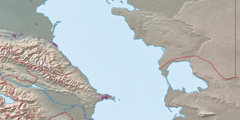
Razvaliny Makhmudkent, (ruin(s)) is located in Dagestan, in Russia (Europe). It is placed in GMT+3 time zone with current time of 02:16 AM, Sunday. Offset from your time zone: minutes.
| Latitude | 

|
|
| decimal | 41.63367 | |
| DMS | 41° 38' 1.212" N | |
| Distances from | ||
| North pole | 5377.8 km | |
| Equator | 4629.2 km | |
| South pole | 14636.3 km | |
| Longitude | 
|
|
| decimal | 48.2248 | |
| DMS | 48° 13' 29.28" E | |
| Distance from prime meridian: 3953.6 km to East |
||
List of nearest places sort by population
Belidzhi 32.7 km 28°
28° 306°
306° 100°
100° 36°
36° 0°
0° 45°
45° 230°31°313°
 298°
298°

Marker is showing location of Razvaliny Makhmudkent on map(s). You can click on marker if you want to hide it.
 T: 0.02376 s.
2026 © Location.zone | Terms of use | Contact
 333°
333° 59°
59° 349°
349° 6°
6° 294°
294° 94°
94° 128°
128° 235°
235°