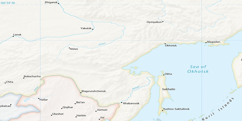
Bol’shaya Chapa, (stream) is located in Amur, in Russia (Asia). It is placed in GMT+9 time zone with current time of 01:05 AM, Monday. Offset from your time zone: minutes.
| Latitude | 

|
|
| decimal | 55.63322 | |
| DMS | 55° 37' 59.592" N | |
| Distances from | ||
| North pole | 3821.2 km | |
| Equator | 6185.8 km | |
| South pole | 16192.9 km | |
| Longitude | 
|
|
| decimal | 129.32416 | |
| DMS | 129° 19' 26.976" E | |
| Distance from prime meridian: 6821.7 km to East |
||
List of nearest places sort by population
Neryungri 312.1 km 291°
291° 259°
259° 212°
212° 223°
223° 296°290°292°214°214°
 243°
243°

Marker is showing location of Bol’shaya Chapa on map(s). You can click on marker if you want to hide it.
 T: 0.0228 s.
2026 © Location.zone | Terms of use | Contact
 270°
270° 160°
160° 168°
168° 122°
122°