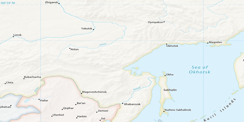
Umal’ta, (stream) is located in Khabarovsk Krai, in Russia (Asia). It is placed in GMT+10 time zone with current time of 12:37 PM, Monday. Offset from your time zone: minutes.
| Latitude | 

|
|
| decimal | 51.62823 | |
| DMS | 51° 37' 41.628" N | |
| Distances from | ||
| North pole | 4266.5 km | |
| Equator | 5740.5 km | |
| South pole | 15747.6 km | |
| Longitude | 
|
|
| decimal | 133.30303 | |
| DMS | 133° 18' 10.908" E | |
| Distance from prime meridian: 7726.6 km to East |
||
List of nearest places sort by population
Chegdomyn 59.2 km 200°
200° 113°
113° 218°
218° 88°
88° 101°
101° 67°204°113°
 351°350°

Marker is showing location of Umal’ta on map(s). You can click on marker if you want to hide it.
 T: 0.02751 s.
2026 © Location.zone | Terms of use | Contact
 274°
274° 278°
278° 163°
163° 169°
169° 121°
121°