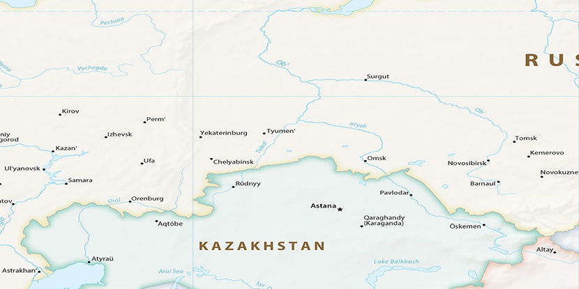
Kartop’ya, (stream) is located in Khanty-Mansiyskiy Avtonomnyy Okrug, in Russia (Asia). It is placed in GMT+5 time zone with current time of 09:41 PM, Friday. Offset from your time zone: minutes.
| Latitude | 

|
|
| decimal | 61.19333 | |
| DMS | 61° 11' 35.988" N | |
| Distances from | ||
| North pole | 3203 km | |
| Equator | 6804.1 km | |
| South pole | 16811.1 km | |
| Longitude | 
|
|
| decimal | 64.85222 | |
| DMS | 64° 51' 7.992" E | |
| Distance from prime meridian: 3329.9 km to East |
||
List of nearest places sort by population
Nyagan 109.1 km 15°
15° 181°
181° 279°
279° 285°
285° 14°
14° 270°
270° 310°
310° 339°270°305°

Marker is showing location of Kartop’ya on map(s). You can click on marker if you want to hide it.
 T: 0.02213 s.
2026 © Location.zone | Terms of use | Contact
 249°
249° 122°
122° 206°
206° 224°
224° 144°
144° 236°
236° 226°
226° 196°
196°