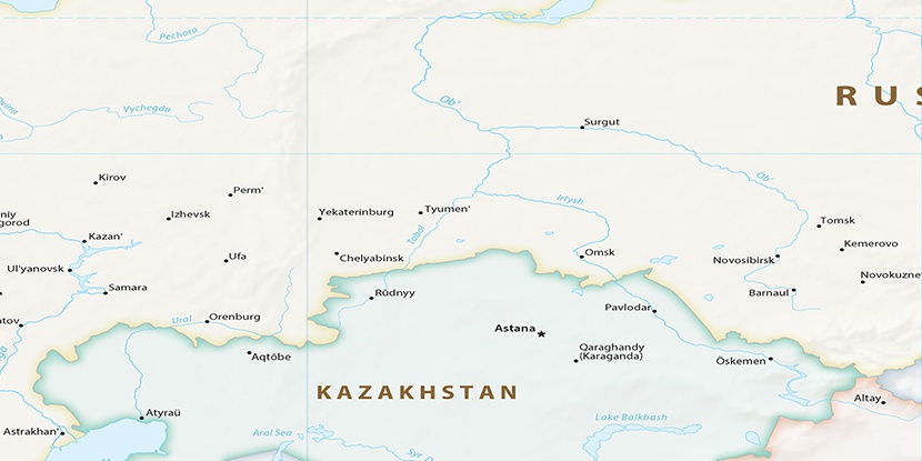
Boloto Shir’, (swamp) is located in Kurgan, in Russia (Asia). It is placed in GMT+5 time zone with current time of 01:13 PM, Sunday. Offset from your time zone: minutes.
| Latitude | 

|
|
| decimal | 55.31972 | |
| DMS | 55° 19' 10.992" N | |
| Distances from | ||
| North pole | 3856.1 km | |
| Equator | 6151 km | |
| South pole | 16158 km | |
| Longitude | 
|
|
| decimal | 65.94333 | |
| DMS | 65° 56' 35.988" E | |
| Distance from prime meridian: 4011.5 km to East |
||
List of nearest places sort by population
Kurgan 41.2 km 290°
290° 303°
303° 275°
275° 99°
99° 263°
263° 177°
177° 337°
337° 229°287°297°

Marker is showing location of Boloto Shir’ on map(s). You can click on marker if you want to hide it.
 T: 0.02401 s.
2026 © Location.zone | Terms of use | Contact
 271°
271° 91°
91° 243°
243° 111°
111° 140°
140°