Aunt Island, (island) is located in Western Australia, in Australia (Australia). It is placed in GMT+8 time zone with current time of 10:22 PM, Wednesday. Offset from your time zone: minutes.
| Latitude | 

|
|
| decimal | -14.37246 | |
| DMS | 14° 22' 20.856" S | |
| Distances from | ||
| North pole | 11605.1 km | |
| Equator | 1598.1 km | |
| South pole | 8409 km | |
| Longitude | 
|
|
| decimal | 127.841 | |
| DMS | 127° 50' 27.6" E | |
| Distance from prime meridian: 13446.7 km to East |
||
List of nearest places sort by population
Darwin 387.9 km 56°58°
 148°56°56°55°56°56°56°56°

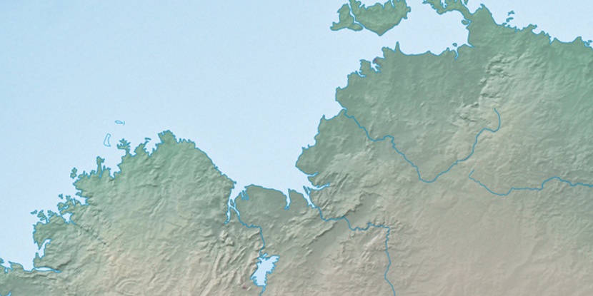
Marker is showing location of Aunt Island on map(s). You can click on marker if you want to hide it.
 T: 0.01943 s.
2026 © Location.zone | Terms of use | Contact
 132°
132° 119°
119° 211°
211° 137°
137° 12°
12° 312°
312° 303°
303° 97°
97°