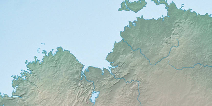
Barnes Island, (island) is located in Western Australia, in Australia (Australia). It is placed in GMT+8 time zone with current time of 09:27 PM, Wednesday. Offset from your time zone: minutes.
| Latitude | 

|
|
| decimal | -15.19273 | |
| DMS | 15° 11' 33.828" S | |
| Distances from | ||
| North pole | 11696.3 km | |
| Equator | 1689.3 km | |
| South pole | 8317.8 km | |
| Longitude | 
|
|
| decimal | 128.17261 | |
| DMS | 128° 10' 21.396" E | |
| Distance from prime meridian: 13393.7 km to East |
||
List of nearest places sort by population
Darwin 418.7 km 43°
43° 45°
45° 136°43°42°43°43°43°43°
 189°
189°

Marker is showing location of Barnes Island on map(s). You can click on marker if you want to hide it.
 T: 0.01931 s.
2026 © Location.zone | Terms of use | Contact
 131°
131° 146°
146° 117°
117° 213°
213° 12°
12° 312°
312° 303°
303° 97°
97°