Boigu Island, (island) is located in Queensland, in Australia (Pacific). It is placed in GMT+10 time zone with current time of 12:55 AM, Thursday. Offset from your time zone: minutes.
| Latitude | 

|
|
| decimal | -9.26028 | |
| DMS | 9° 15' 37.008" S | |
| Distances from | ||
| North pole | 11036.7 km | |
| Equator | 1029.6 km | |
| South pole | 8977.4 km | |
| Longitude | 
|
|
| decimal | 142.21361 | |
| DMS | 142° 12' 48.996" E | |
| Distance from prime meridian: 15351.7 km to East |
||
List of nearest places sort by population
Trinity Beach 918.1 km 155°
155° 241°156°
 185°155°
 179°155°155°156°
 231°
231°

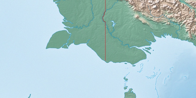
Marker is showing location of Boigu Island on map(s). You can click on marker if you want to hide it.
 T: 0.01875 s.
2026 © Location.zone | Terms of use | Contact
 150°
150° 166°
166° 356°
356° 306°
306° 298°
298° 100°
100°