Boiler Rocks, (island) is located in Tasmania, in Australia (Antarctica). It is placed in GMT+10 time zone with current time of 08:41 PM, Wednesday. Offset from your time zone: minutes.
| Latitude | 

|
|
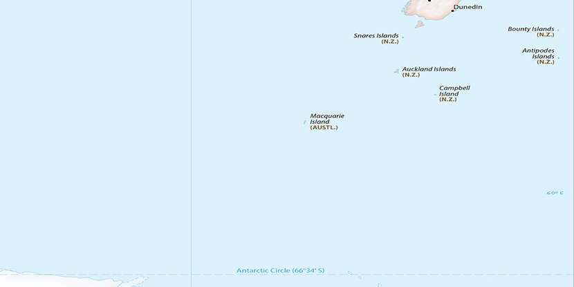
| decimal | -54.54 | |
| DMS | 54° 32' 24" S | |
| Distances from | ||
| North pole | 16071.3 km | |
| Equator | 6064.3 km | |
| South pole | 3942.8 km | |
| Longitude | 
|
|
| decimal | 158.86 | |
| DMS | 158° 51' 36" E | |
| Distance from prime meridian: 7732.2 km to East |
||
List of nearest places sort by population
Kingston 1535.4 km 326°326°326°327°326°327°325°325°326°325°

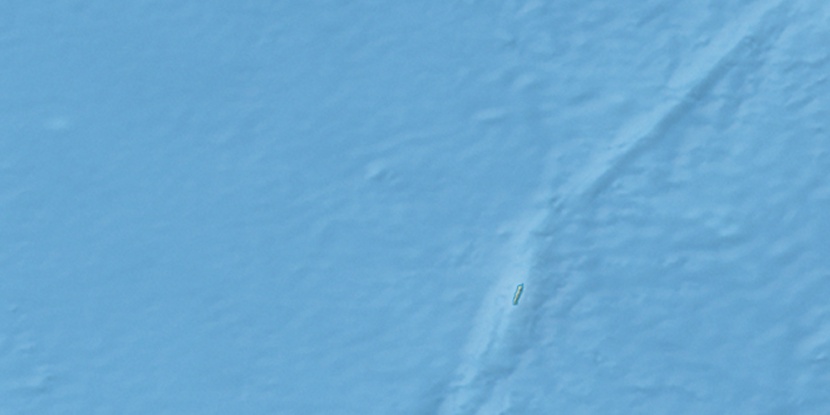
Marker is showing location of Boiler Rocks on map(s). You can click on marker if you want to hide it.
 T: 0.01872 s.
2026 © Location.zone | Terms of use | Contact
 345°
345° 306°
306° 324°
324° 340°
340° 77°
77°