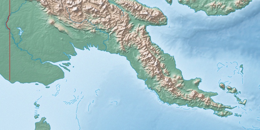
Campbell Island, (island) is located in Queensland, in Australia (Australia). It is placed in GMT+10 time zone with current time of 07:55 PM, Sunday. Offset from your time zone: minutes.
| Latitude | 

|
|
| decimal | -9.56018 | |
| DMS | 9° 33' 36.648" S | |
| Distances from | ||
| North pole | 11070.1 km | |
| Equator | 1063 km | |
| South pole | 8944.1 km | |
| Longitude | 
|
|
| decimal | 143.49277 | |
| DMS | 143° 29' 33.972" E | |
| Distance from prime meridian: 15448.7 km to East |
||
List of nearest places sort by population
Redlynch 848.5 km 163°163°
 248°164°
 207°163°
 230°164°163°163°

Marker is showing location of Campbell Island on map(s). You can click on marker if you want to hide it.
 T: 0.01917 s.
2026 © Location.zone | Terms of use | Contact
 177°
177° 153°
153° 190°
190° 168°
168° 355°
355° 306°
306° 298°
298° 100°
100°