Deliverance Island, (island) is located in Queensland, in Australia (Pacific). It is placed in GMT+10 time zone with current time of 01:09 AM, Thursday. Offset from your time zone: minutes.
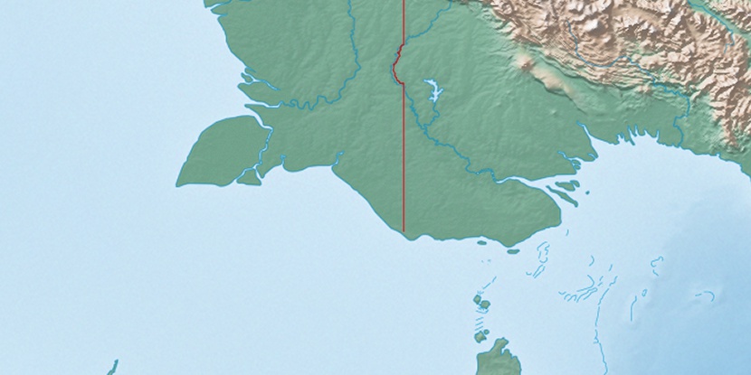
| Latitude | 

|
|
| decimal | -9.51685 | |
| DMS | 9° 31' 0.66" S | |
| Distances from | ||
| North pole | 11065.2 km | |
| Equator | 1058.2 km | |
| South pole | 8948.9 km | |
| Longitude | 
|
|
| decimal | 141.57194 | |
| DMS | 141° 34' 18.984" E | |
| Distance from prime meridian: 15263.7 km to East |
||
List of nearest places sort by population
Trinity Beach 923.5 km 151°
151° 240°151°
 174°151°149°149°151°151°
 229°
229°

Marker is showing location of Deliverance Island on map(s). You can click on marker if you want to hide it.
 T: 0.01897 s.
2026 © Location.zone | Terms of use | Contact
 159°
159° 186°
186° 357°
357° 306°
306° 299°
299° 99°
99°